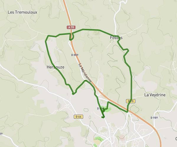
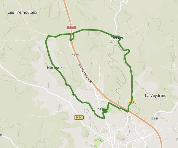
This running route covers 3.125mi starting from Saint-Chély-d'Apcher, Lozère. The run is a loop trail and returns to the trailhead. This run is rated as easy, expect about 35m55s to complete it. The route has an elevation gain of 312ft and an elevation loss of 312ft.
Forêt de Chambareilles
Route details
5.22mph
Speed
411 kcal
Calories burned
Loop trail
Route type
3386ft
Min altitude
3570ft
Max altitude
Route profile
312ft
Elevation gain
312ft
Elevation loss
3386ft
Min altitude
3570ft
Max altitude
How to get there
Trailhead: Chemin Du Moulin De La Griffette, 48200 Saint-Chély-d'Apcher
GPS coordinates of the trailhead: 44.79865, 3.2596 / 44°47'55'' N, 3°15'34'' E