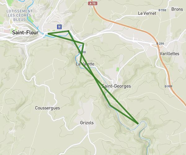
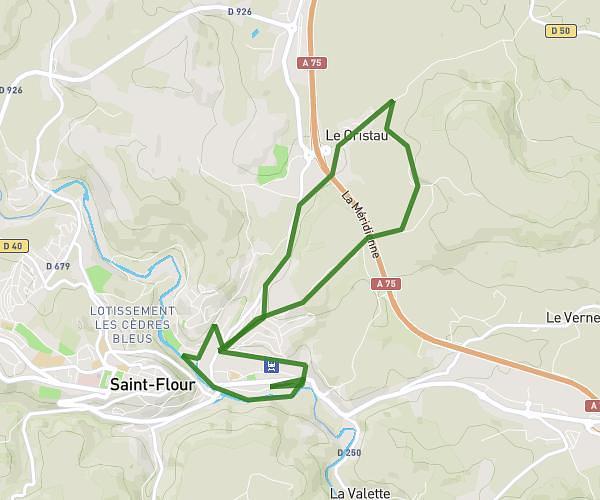
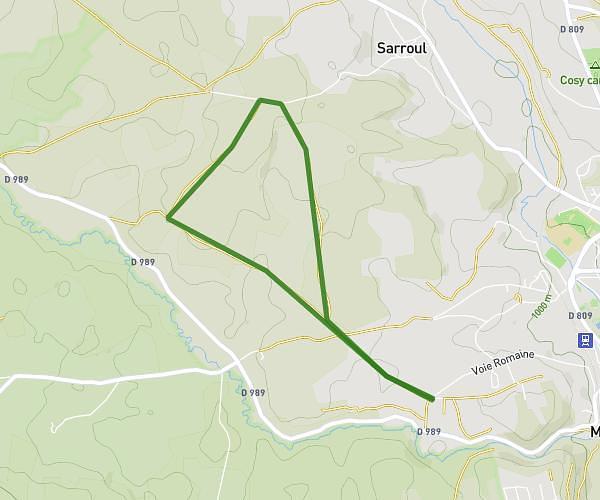
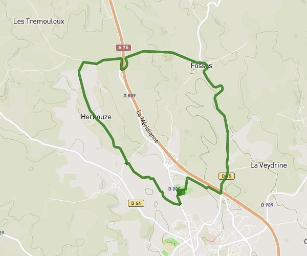
This running route covers 6.966mi starting from Saint-Chély-d'Apcher, Lozère. The run is a loop trail and returns to the trailhead. This run is rated as moderate, expect about 1h21m to complete it. The route has an elevation gain of 341ft and an elevation loss of 308ft.
saint chely d apcher
Route details
5.16mph
Speed
926 kcal
Calories burned
Loop trail
Route type
3268ft
Min altitude
3494ft
Max altitude
Route profile
341ft
Elevation gain
308ft
Elevation loss
3268ft
Min altitude
3494ft
Max altitude
How to get there
Trailhead: D 809, 48200 Saint-Chély-d'Apcher, France
GPS coordinates of the trailhead: 44.81642, 3.27077 / 44°48'59'' N, 3°16'14'' E