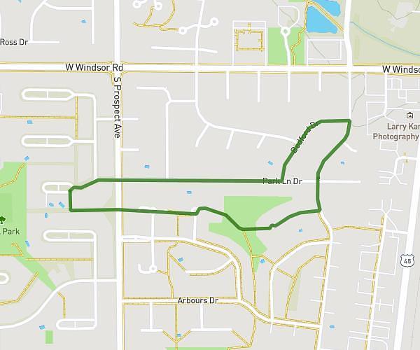
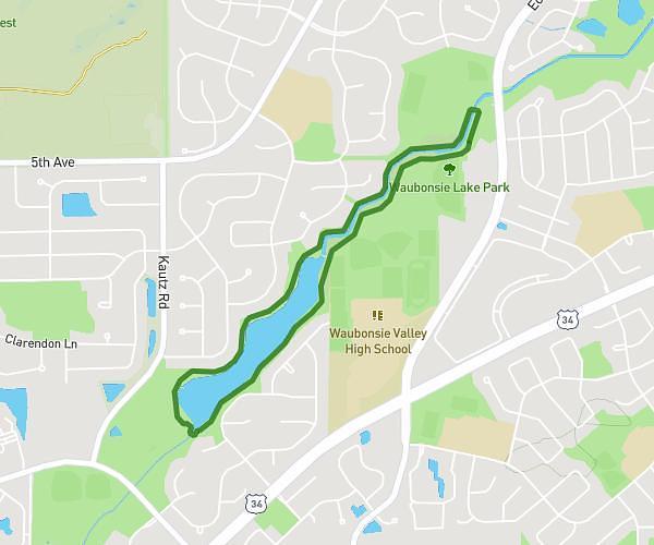
This running route covers 3.109mi starting from Mundelein, Illinois. The run does not return to the trailhead and ends near North Lake Street, 60060 Mundelein. This run is rated as easy, expect about 30m to complete it. The route has an elevation gain of 36ft and an elevation loss of 23ft.
Lock Lomand 5k
Route details
6.22mph
Speed
343 kcal
Calories burned
Point to point
Route type
761ft
Min altitude
787ft
Max altitude
Route profile
36ft
Elevation gain
23ft
Elevation loss
761ft
Min altitude
787ft
Max altitude
How to get there
Trailhead: West Park Street, 60060 Mundelein
GPS coordinates of the trailhead: 42.27149, -88.00564 / 42°16'17'' N, 88°0'20'' W