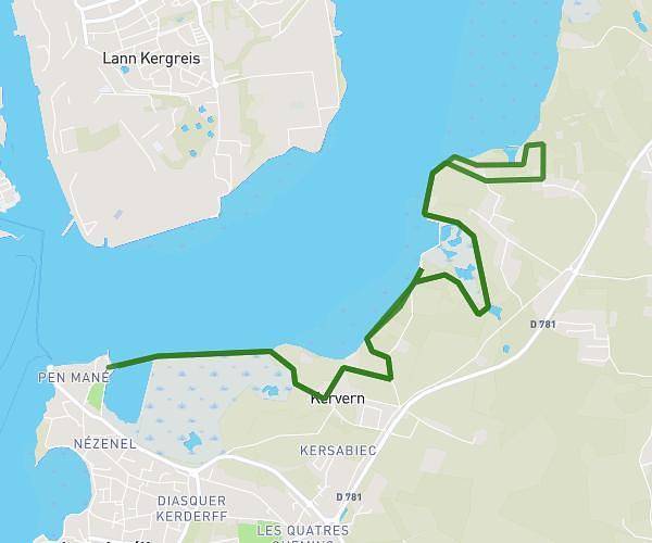
This running route covers 3.779mi starting from Erdeven, Morbihan. The run does not return to the trailhead and ends near 2 Boulevard De L'atlantique, 56410 Erdeven, France. This run is rated as easy, expect about 42m55s to complete it. The route has an elevation gain of 92ft and an elevation loss of 128ft.
Route vers la plage
Route details
5.28mph
Speed
491 kcal
Calories burned
Point to point
Route type
10ft
Min altitude
62ft
Max altitude
Route profile
92ft
Elevation gain
128ft
Elevation loss
10ft
Min altitude
62ft
Max altitude
How to get there
Trailhead: R 22, 56410 Erdeven, France
GPS coordinates of the trailhead: 47.65309, -3.16187 / 47°39'11'' N, 3°9'42'' W