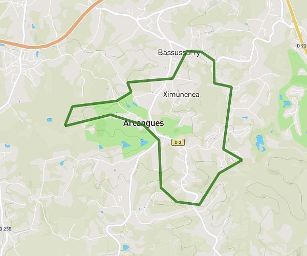
This running route covers 4.499mi starting from Zugarramurdi, Navarre. The run is a loop trail and returns to the trailhead. This run is rated as easy, expect about 1h20m to complete it. The route has an elevation gain of 1962ft and an elevation loss of 1959ft.
Zugarramurdiko errebestak
Route details
3.37mph
Speed
915 kcal
Calories burned
Loop trail
Route type
676ft
Min altitude
1962ft
Max altitude
Route profile
1962ft
Elevation gain
1959ft
Elevation loss
676ft
Min altitude
1962ft
Max altitude
How to get there
Trailhead: Etxalar - Zugarramurdi Errepidea, 31710 Zugarramurdi, Navarre, Spain
GPS coordinates of the trailhead: 43.26886, -1.54115 / 43°16'7'' N, 1°32'28'' W