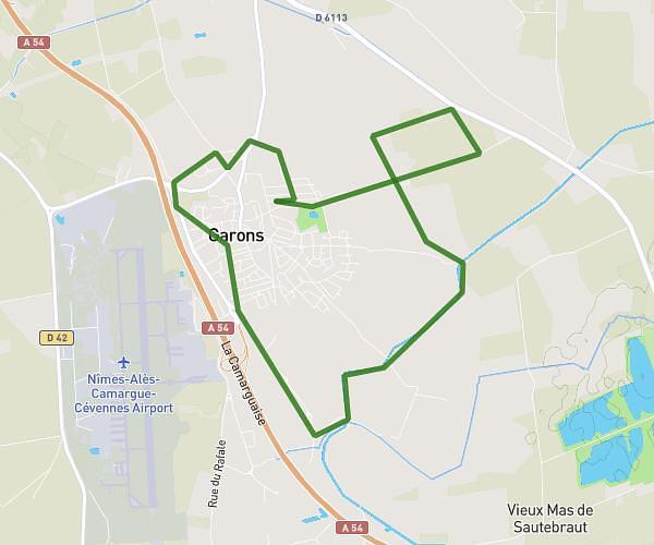
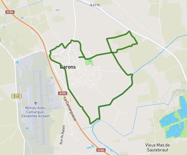
This running route covers 4.528mi starting from Nîmes, Gard. The run is a loop trail and returns to the trailhead. This run is rated as easy, expect about 1h to complete it. The route has an elevation gain of 62ft and an elevation loss of 121ft.
Course à pied
Route details
4.53mph
Speed
686 kcal
Calories burned
Loop trail
Route type
144ft
Min altitude
266ft
Max altitude
Route profile
62ft
Elevation gain
121ft
Elevation loss
144ft
Min altitude
266ft
Max altitude
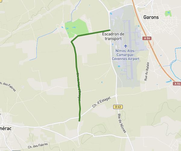
How to get there
Trailhead: Chemin De L'alouette, 30900 Nîmes
GPS coordinates of the trailhead: 43.83205, 4.34245 / 43°49'55'' N, 4°20'32'' E