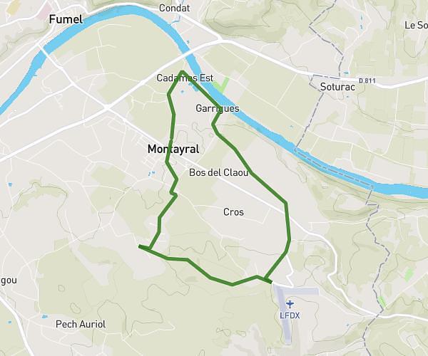
This running route covers 8.142mi starting from Montayral, Lot-et-Garonne. The run does not return to the trailhead and ends near 826 Impasse De Naguère, 47500 Montayral, France. This run is rated as hard, expect about 1h27m to complete it. The route has an elevation gain of 148ft and an elevation loss of 30ft.
Autour de la maison
Route details
5.62mph
Speed
995 kcal
Calories burned
Point to point
Route type
233ft
Min altitude
381ft
Max altitude
Route profile
148ft
Elevation gain
30ft
Elevation loss
233ft
Min altitude
381ft
Max altitude
How to get there
Trailhead: 73 Avenue Du Lot, 47500 Montayral, France
GPS coordinates of the trailhead: 44.481079, 0.986739 / 44°28'51'' N, 0°59'12'' E