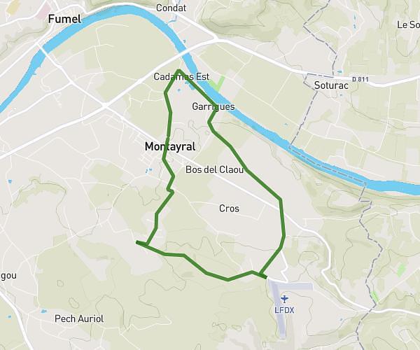
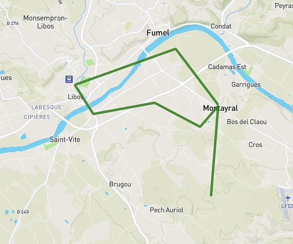
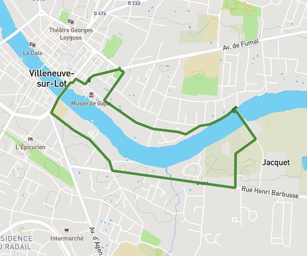
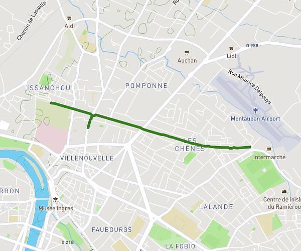
This running route covers 14.169mi starting from Saint-Amans-du-Pech, Tarn-et-Garonne. The run does not return to the trailhead and ends near 129 Avenue De Cahors, 47480 Pont-du-Casse, France. This run is rated as strenuous, expect about 2h32m to complete it. The route has an elevation gain of 0ft and an elevation loss of 279ft.
22km
Route details
5.59mph
Speed
1738 kcal
Calories burned
Point to point
Route type
413ft
Min altitude
692ft
Max altitude
Route profile
0ft
Elevation gain
279ft
Elevation loss
413ft
Min altitude
692ft
Max altitude
How to get there
Trailhead: D 656, 82150 Saint-Amans-du-Pech, France
GPS coordinates of the trailhead: 44.315506, 0.887012 / 44°18'55'' N, 0°53'13'' E