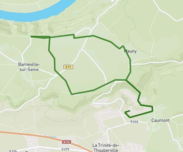
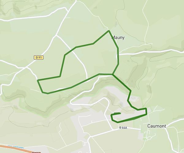
This running route covers 2.551mi starting from Sainte-Opportune-du-Bosc, Eure. The run does not return to the trailhead and ends near 645 Route D'epegard, 27110 Le Neubourg, France. This run is rated as easy, expect about 27m22s to complete it. The route has an elevation gain of 112ft and an elevation loss of 171ft.
Run 1
Route details
5.59mph
Speed
313 kcal
Calories burned
Point to point
Route type
390ft
Min altitude
479ft
Max altitude
Route profile
112ft
Elevation gain
171ft
Elevation loss
390ft
Min altitude
479ft
Max altitude
How to get there
Trailhead: 6 Allée De La Reserve, 27110 Sainte-Opportune-du-Bosc, France
GPS coordinates of the trailhead: 49.166715, 0.852876 / 49°10'0'' N, 0°51'10'' E