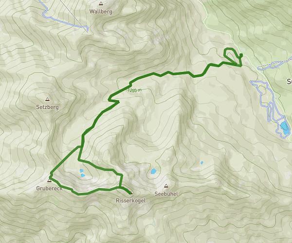
This hiking trail covers 9.093mi starting from Lenggries, Bavaria. The hike is a loop trail and returns to the trailhead. This hike is rated as strenuous, plan for about 5h12m to complete it. The route has an elevation gain of 3133ft and an elevation loss of 3104ft.
test
Route details
1.75mph
Speed
2422 kcal
Calories burned
13.0%
Avg grade
Loop trail
Route type
2231ft
Min altitude
5059ft
Max altitude
Steep climb
Route profile
3133ft
Elevation gain
3104ft
Elevation loss
2231ft
Min altitude
5059ft
Max altitude
How to get there
Trailhead: Raiffeisenstraße 8, 83661 Lenggries, Germany
GPS coordinates of the trailhead: 47.68188, 11.56847 / 47°40'54'' N, 11°34'6'' E