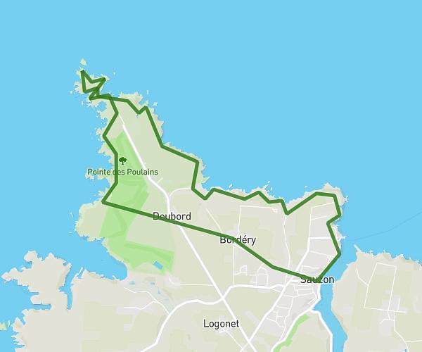
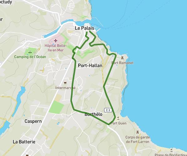
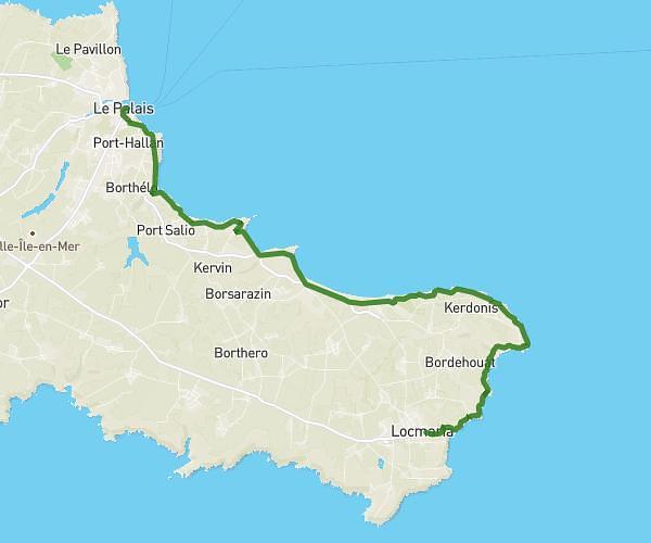
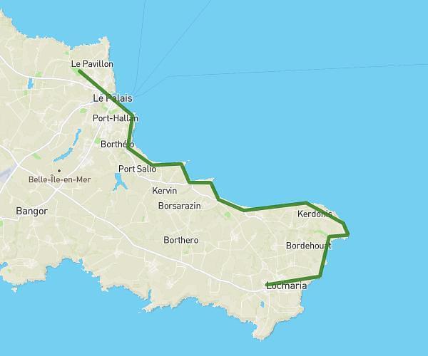
Explore this hiking route of 6.182mi starting from Bangor, Morbihan. The hike is a loop and returns to the starting point. This hike is rated as intermediate, plan for about 2h17m to complete it. The route has an elevation gain of 689ft and an elevation loss of 692ft.
Rando Bangor
Route details
Route profile
689ft
Elevation gain
692ft
Elevation loss
0ft
Min altitude
112ft
Max altitude
Route information
How to get there
Route starting point: 758 D 190, 56360 Bangor, France
GPS coordinates of the starting point: 47.305582, -3.227891 / 47°18'20'' N, 3°13'40'' W