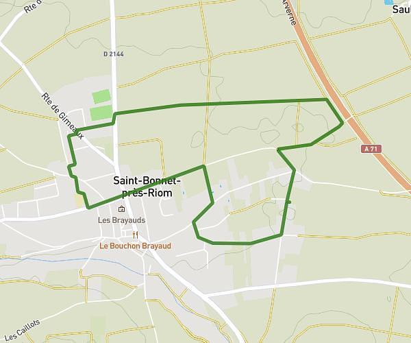
This running route covers 2.483mi starting from Pont-du-Château, Puy-de-Dôme. The run is a loop trail and returns to the trailhead. This run is rated as easy, expect about 27m to complete it. The route has an elevation gain of 174ft and an elevation loss of 174ft.
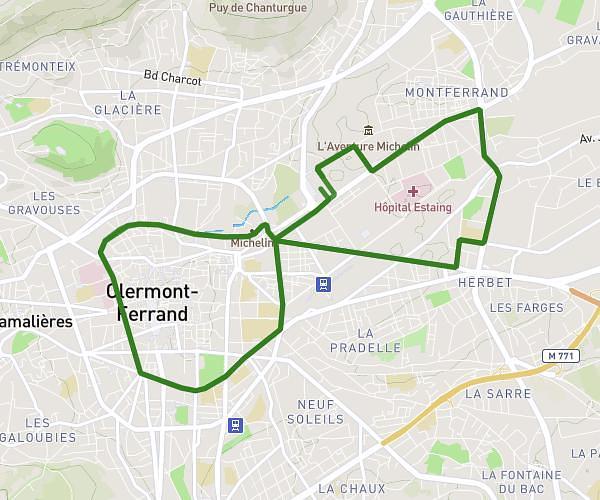
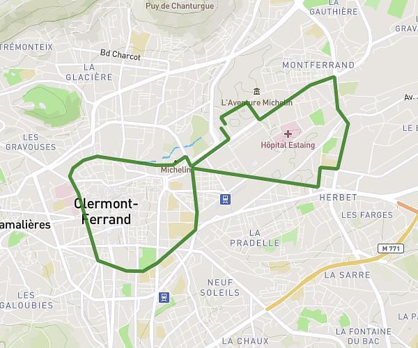
parcour 4 km
Route details
5.52mph
Speed
309 kcal
Calories burned
Loop trail
Route type
1050ft
Min altitude
1171ft
Max altitude
Route profile
174ft
Elevation gain
174ft
Elevation loss
1050ft
Min altitude
1171ft
Max altitude
How to get there
Trailhead: 64 Avenue Roger Coulon, 63430 Pont-du-Château, France
GPS coordinates of the trailhead: 45.798637, 3.240165 / 45°47'55'' N, 3°14'24'' E