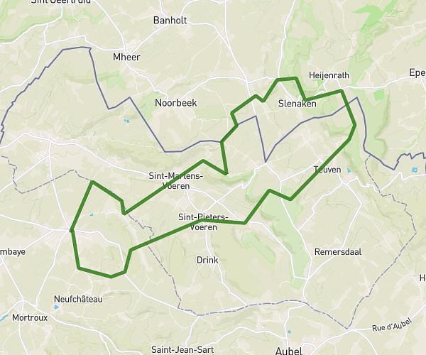
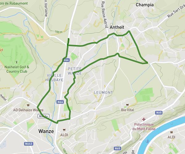
This running route covers 4.087mi starting from Plombières, Liège. The run does not return to the trailhead and ends near Rue Du Cheval Blanc 244, 4852 Plombières, Liege, Belgium. This run is rated as easy, expect about 43m50s to complete it. The route has an elevation gain of 338ft and an elevation loss of 154ft.
Boffereth 2 / 3 Marroniers
Route details
5.59mph
Speed
501 kcal
Calories burned
Point to point
Route type
413ft
Min altitude
630ft
Max altitude
Route profile
338ft
Elevation gain
154ft
Elevation loss
413ft
Min altitude
630ft
Max altitude
How to get there
Trailhead: Boffereth 22, 4852 Plombières, Liege, Belgium
GPS coordinates of the trailhead: 50.74279, 5.95208 / 50°44'34'' N, 5°57'7'' E