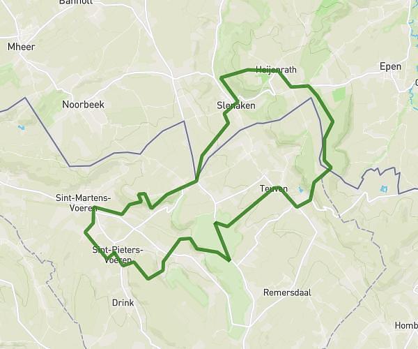
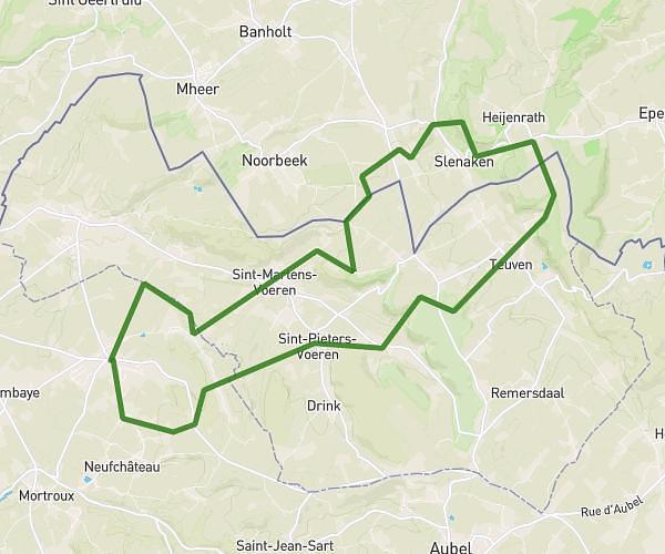
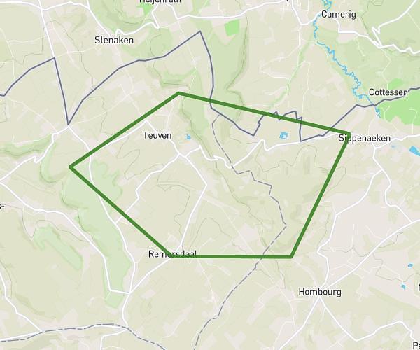
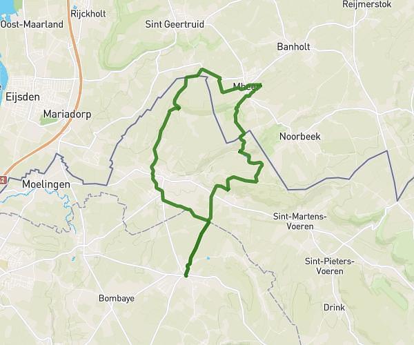
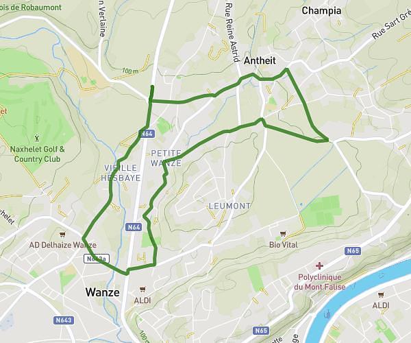
This running route covers 5.959mi starting from Liege, Thimister-Clermont. The run is a loop trail and returns to the trailhead. This run is rated as moderate, expect about 57m32s to complete it. The route has an elevation gain of 459ft and an elevation loss of 463ft.
Clisore 3
Route details
6.21mph
Speed
658 kcal
Calories burned
Loop trail
Route type
758ft
Min altitude
965ft
Max altitude
Route profile
459ft
Elevation gain
463ft
Elevation loss
758ft
Min altitude
965ft
Max altitude
How to get there
Trailhead: Chemin De Xhénorie, 4890 Thimister-Clermont
GPS coordinates of the trailhead: 50.63083, 5.87611 / 50°37'50'' N, 5°52'33'' E