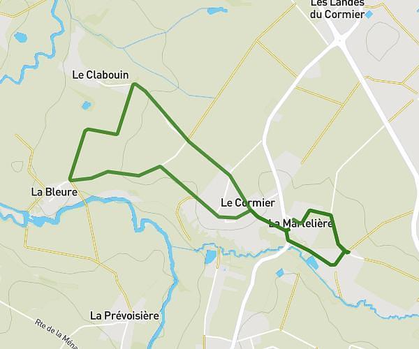
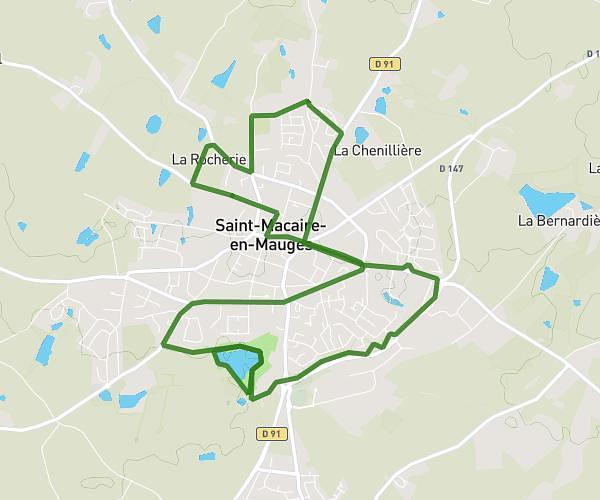
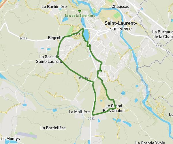
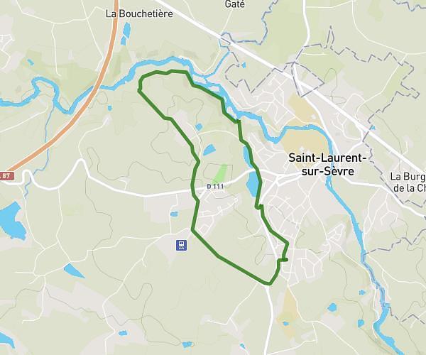
This running route covers 6.849mi starting from Les Herbiers, Vendée. The run is a loop trail and returns to the trailhead. This run is rated as moderate, expect about 1h7s to complete it. The route has an elevation gain of 328ft and an elevation loss of 325ft.
11km herbiers
Route details
6.84mph
Speed
687 kcal
Calories burned
Loop trail
Route type
325ft
Min altitude
476ft
Max altitude
Route profile
328ft
Elevation gain
325ft
Elevation loss
325ft
Min altitude
476ft
Max altitude
How to get there
Trailhead: 24 Avenue Du Bocage, 85500 Les Herbiers, France
GPS coordinates of the trailhead: 46.88109, -1.0207 / 46°52'51'' N, 1°1'14'' W