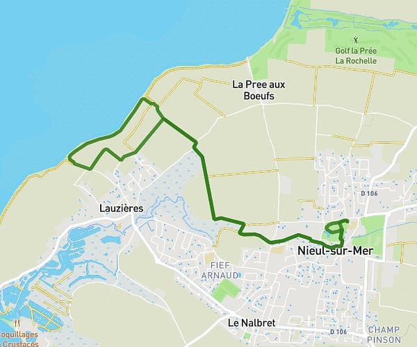
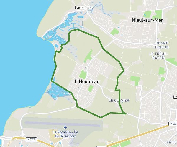
This hiking trail covers 2.824mi starting from La Jarne, Charente-Maritime. The hike is a loop trail and returns to the trailhead. This hike is rated as easy, plan for about 57m to complete it. The route has an elevation gain of 95ft and an elevation loss of 95ft.
Buzay
Route details
2.97mph
Speed
403 kcal
Calories burned
1.3%
Avg grade
Loop trail
Route type
10ft
Min altitude
36ft
Max altitude
Route profile
95ft
Elevation gain
95ft
Elevation loss
10ft
Min altitude
36ft
Max altitude
How to get there
Trailhead: 14 Rue Des Pluviers Dorés, 17220 La Jarne, France
GPS coordinates of the trailhead: 46.126827, -1.066039 / 46°7'36'' N, 1°3'57'' W