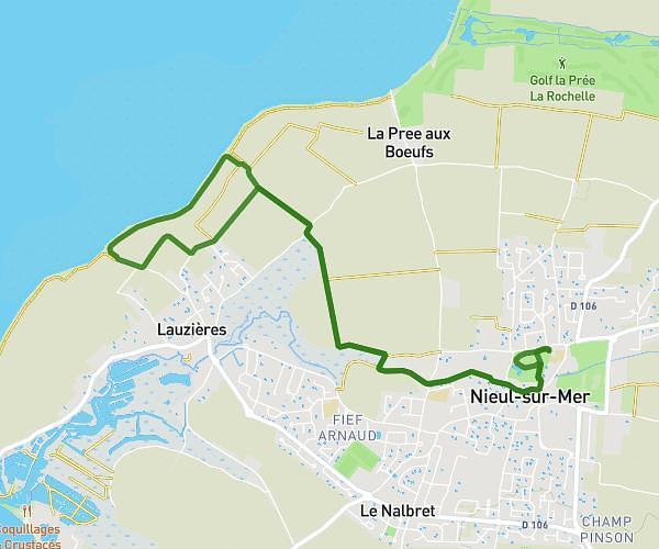
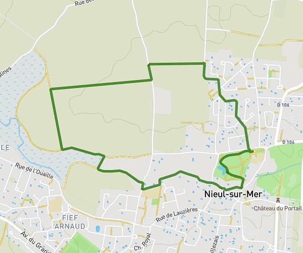
This hiking trail covers 5.269mi starting from Lagord, Charente-Maritime. The hike is a loop trail and returns to the trailhead. This hike is rated as easy, plan for about 2h7m to complete it. The route has an elevation gain of 272ft and an elevation loss of 272ft.
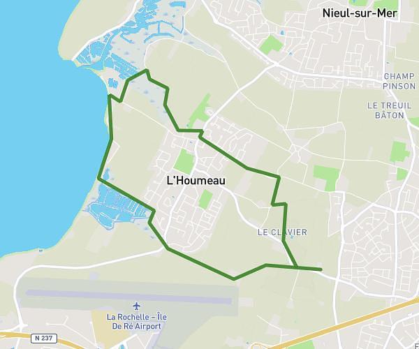
Marais de L'Houmeau
Route details
2.49mph
Speed
905 kcal
Calories burned
2.0%
Avg grade
Loop trail
Route type
-10ft
Min altitude
92ft
Max altitude
Route profile
272ft
Elevation gain
272ft
Elevation loss
-10ft
Min altitude
92ft
Max altitude
How to get there
Trailhead: 140 Rue De La Rochelle, 17137 Lagord, France
GPS coordinates of the trailhead: 46.182, -1.172218 / 46°10'55'' N, 1°10'19'' W