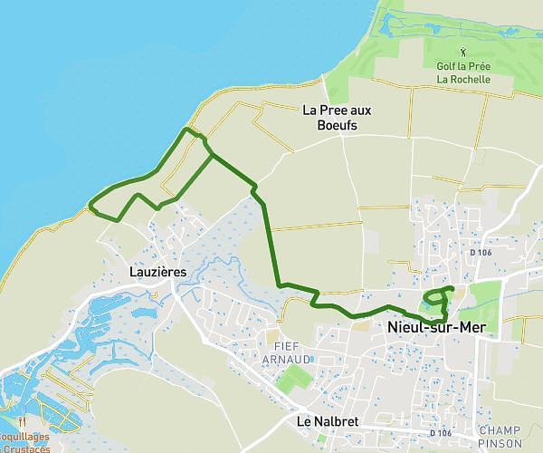
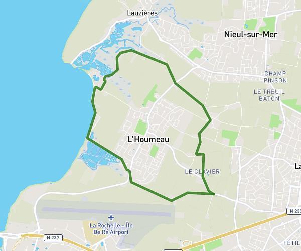
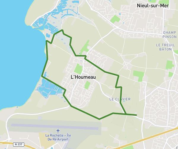
This hiking trail covers 2.545mi starting from Nieul-sur-Mer, Charente-Maritime. The hike is a loop trail and returns to the trailhead. This hike is rated as easy, plan for about 21m to complete it. The route has an elevation gain of 92ft and an elevation loss of 92ft.
parcours du cœur 2026_4 km
Route details
7.27mph
Speed
149 kcal
Calories burned
1.4%
Avg grade
Loop trail
Route type
7ft
Min altitude
56ft
Max altitude
Route profile
92ft
Elevation gain
92ft
Elevation loss
7ft
Min altitude
56ft
Max altitude
How to get there
Trailhead: 1 Rue De Beauregard, 17137 Nieul-sur-Mer, France
GPS coordinates of the trailhead: 46.209309, -1.162353 / 46°12'33'' N, 1°9'44'' W