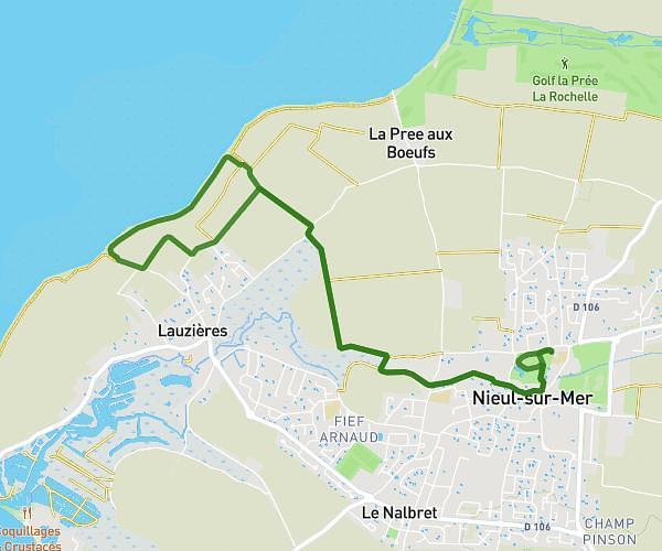
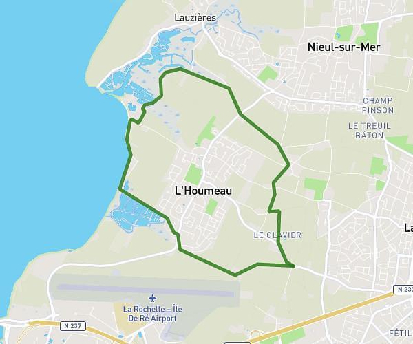
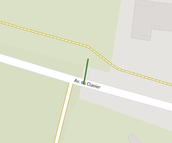
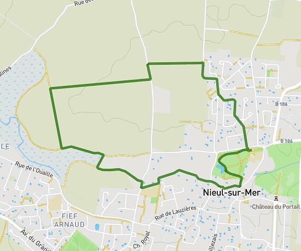
This hiking trail covers 5.176mi starting from Lagord, Charente-Maritime. The hike does not return to the trailhead and ends near 127 Avenue Du Clavier, 17140 Lagord, France. This hike is rated as easy, plan for about 2h15m to complete it. The route has an elevation gain of 226ft and an elevation loss of 217ft.
Description of the route by the creator
Port du Plomb Nieul. Lagord , easy level , 8.300 km , 2 hours