MapPlanner
5.303mi
Distance
1h50m
Duration
+230ft
Elevation gain
-233ft
Elevation loss
Moderate
Level

Port du plomb

Route details

2.89mph
Speed
781 kcal
Calories burned
1.7%
Avg grade
Loop trail
Route type
-13ft
Min altitude
92ft
Max altitude

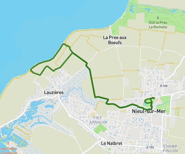
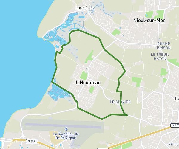
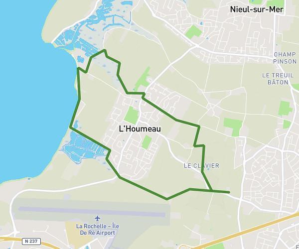
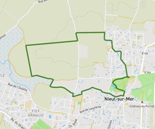
This hiking trail covers 5.303mi starting from Lagord, Charente-Maritime. The hike is a loop trail and returns to the trailhead. This hike is rated as moderate, plan for about 1h50m to complete it. The route has an elevation gain of 230ft and an elevation loss of 233ft.

Description of the route by the creator

Departure from Bois de la Faucherie, port du Plomb at l'Houmeau then return via Lagord duration 8h 50 speed 4km per hour

(Description automatically translated)

Route profile

230ft
Elevation gain
233ft
Elevation loss
-13ft
Min altitude
92ft
Max altitude

How to get there

Trailhead: 85 Avenue Du Clavier, 17140 Lagord, France

GPS coordinates of the trailhead: 46.18178, -1.170235 / 46°10'54'' N, 1°10'12'' W

Caution: May Cross Private Property

This route may pass through or near private property. Always respect posted signs, obtain permission where required, and follow local trespassing laws. MapPlanner does not guarantee public access along any route.

Safety Notice

Trail and road conditions may change without notice due to weather, construction, or other factors. Always verify current conditions before heading out. You are responsible for your own safety — follow local signage, obey traffic laws, and use your best judgment on the trail.