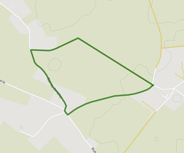
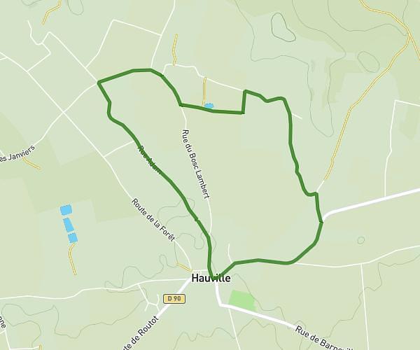
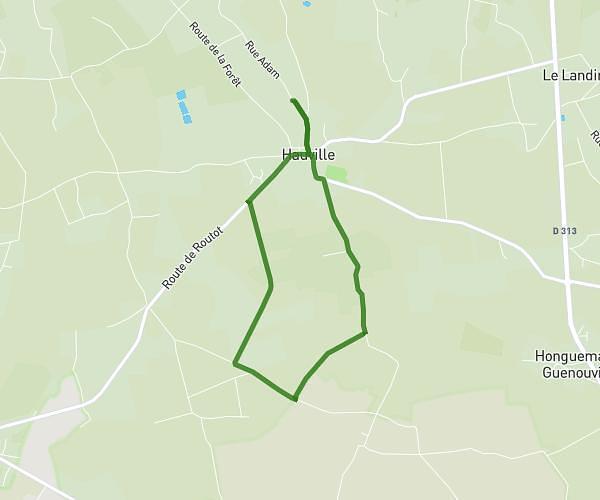
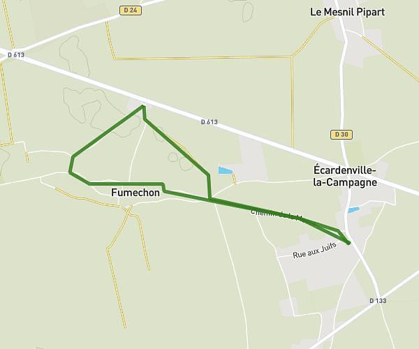
This walking route covers 4.128mi starting from Hauville, Eure. The walk is a loop trail and returns to the trailhead. This walk is rated as moderate, plan for about 1h29m to complete it. The route has an elevation gain of 177ft and an elevation loss of 174ft.
Tranquille
Route details
21:33/mi
Pace
363 kcal
Calories burned
Loop trail
Route type
397ft
Min altitude
469ft
Max altitude
Route profile
177ft
Elevation gain
174ft
Elevation loss
397ft
Min altitude
469ft
Max altitude
How to get there
Trailhead: 28 Rue Adam, 27350 Hauville, France
GPS coordinates of the trailhead: 49.40873, 0.76132 / 49°24'31'' N, 0°45'40'' E