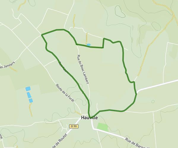
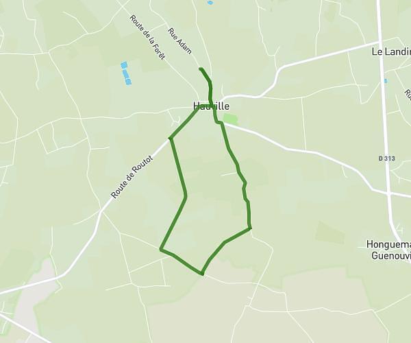
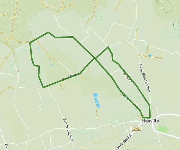
This walking route covers 1.496mi starting from Flancourt-Crescy-en-Roumois, Eure. The walk is a loop trail and returns to the trailhead. This walk is rated as easy, plan for about 32m to complete it. The route has an elevation gain of 56ft and an elevation loss of 56ft.
Itinéraire 1
Route details
21:22/mi
Pace
131 kcal
Calories burned
Loop trail
Route type
417ft
Min altitude
449ft
Max altitude
Route profile
56ft
Elevation gain
56ft
Elevation loss
417ft
Min altitude
449ft
Max altitude
How to get there
Trailhead: 425 Rue Du Calvaire, 27310 Flancourt-Crescy-en-Roumois, France
GPS coordinates of the trailhead: 49.318432, 0.799621 / 49°19'6'' N, 0°47'58'' E