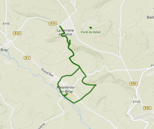
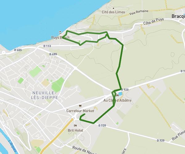
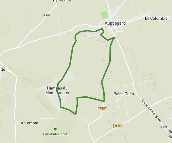
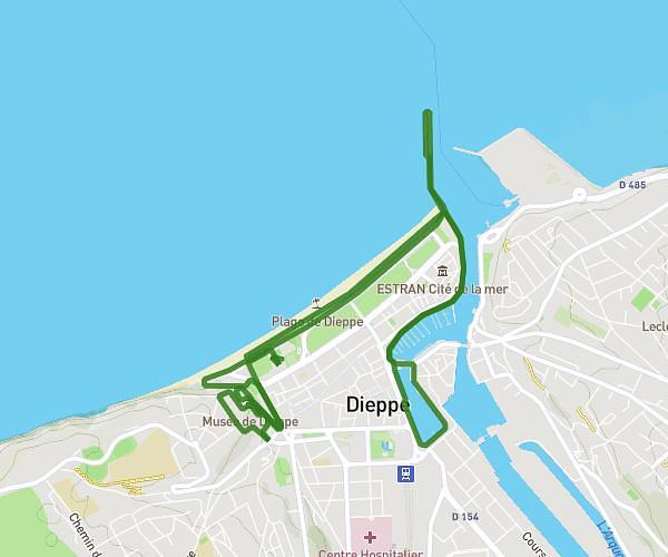
This running route covers 11.888mi starting from Dieppe, Seine-Maritime. The run is a loop trail and returns to the trailhead. This run is rated as strenuous, expect about 2h6m to complete it. The route has an elevation gain of 1053ft and an elevation loss of 1053ft.
NOUVEAU TCA 19
Route details
5.66mph
Speed
1441 kcal
Calories burned
Loop trail
Route type
0ft
Min altitude
269ft
Max altitude
Route profile
1053ft
Elevation gain
1053ft
Elevation loss
0ft
Min altitude
269ft
Max altitude
How to get there
Trailhead: Boulevard De Verdun, 76200 Dieppe
GPS coordinates of the trailhead: 49.92692, 1.07013 / 49°55'36'' N, 1°4'12'' E