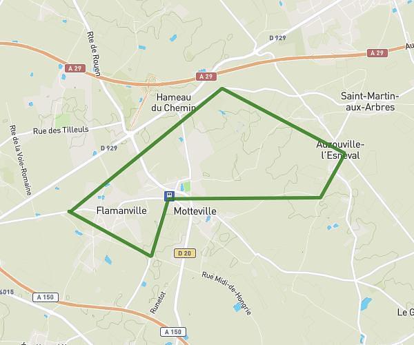
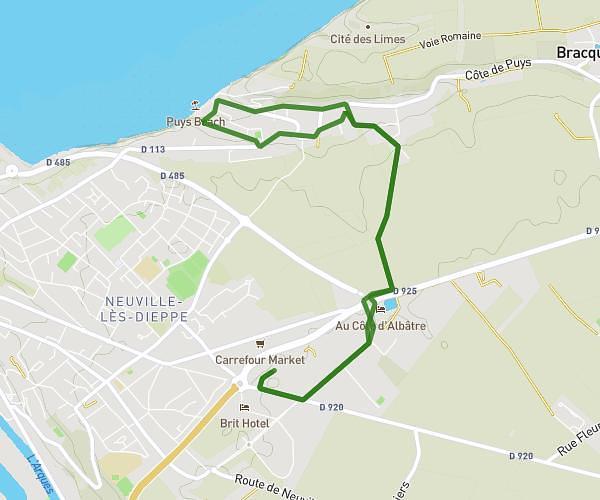
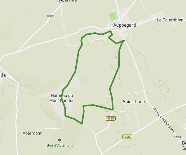
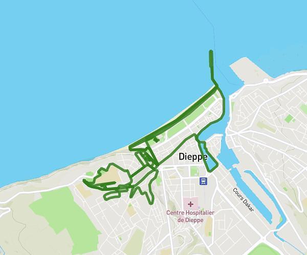
This running route covers 11.871mi starting from Sotteville-sur-Mer, Seine-Maritime. The run is a loop trail and returns to the trailhead. This run is rated as strenuous, expect about 1h55m to complete it. The route has an elevation gain of 942ft and an elevation loss of 942ft.
TCA 19 KMS
Route details
6.2mph
Speed
1315 kcal
Calories burned
Loop trail
Route type
0ft
Min altitude
207ft
Max altitude
Route profile
942ft
Elevation gain
942ft
Elevation loss
0ft
Min altitude
207ft
Max altitude
How to get there
Trailhead: 120 Route Entre Mer Et Lin, 76740 Sotteville-sur-Mer, France
GPS coordinates of the trailhead: 49.88121, 0.82828 / 49°52'52'' N, 0°49'41'' E