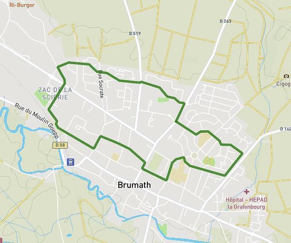
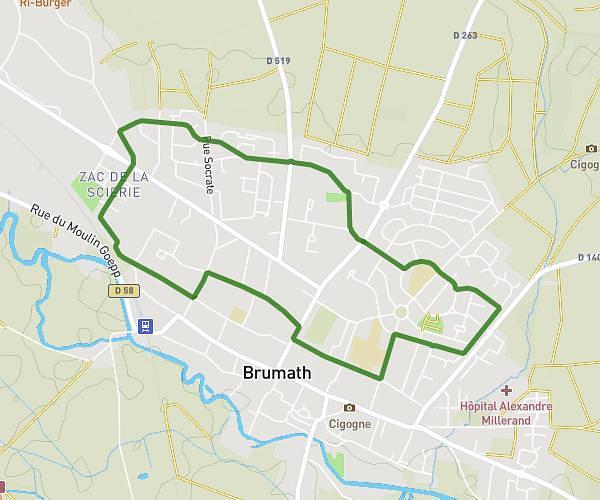
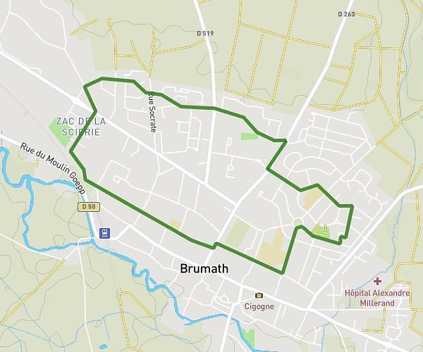
This running route covers 6.313mi starting from Strasbourg, Bas-Rhin. The run is a loop trail and returns to the trailhead. This run is rated as moderate, expect about 1h1m to complete it. The route has an elevation gain of 13ft and an elevation loss of 7ft.
10 km
Route details
6.21mph
Speed
697 kcal
Calories burned
Loop trail
Route type
459ft
Min altitude
472ft
Max altitude
Route profile
13ft
Elevation gain
7ft
Elevation loss
459ft
Min altitude
472ft
Max altitude
How to get there
Trailhead: Route De Mittelhausbergen, 67200 Strasbourg
GPS coordinates of the trailhead: 48.59275, 7.72377 / 48°35'33'' N, 7°43'25'' E