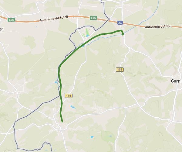
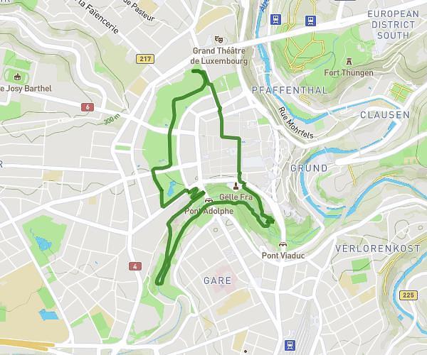
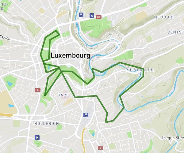
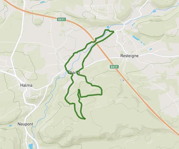
This running route covers 6.459mi starting from Luxembourg, Luxembourg. The run is a loop trail and returns to the trailhead. This run is rated as moderate, expect about 1h56s to complete it. The route has an elevation gain of 82ft and an elevation loss of 108ft.
Kockel an erëm
Route details
6.36mph
Speed
697 kcal
Calories burned
Loop trail
Route type
928ft
Min altitude
1033ft
Max altitude
Route profile
82ft
Elevation gain
108ft
Elevation loss
928ft
Min altitude
1033ft
Max altitude
How to get there
Trailhead: Rue De La Francophonie, 1553 Luxembourg, Luxembourg
GPS coordinates of the trailhead: 49.58388, 6.12903 / 49°35'1'' N, 6°7'44'' E