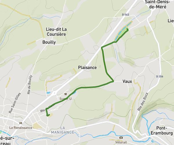
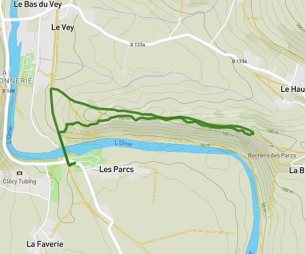
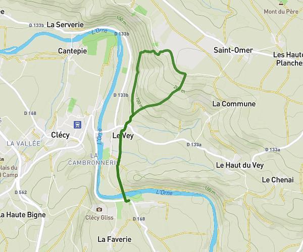
This hiking trail covers 3.798mi starting from Le Hom, Calvados. The hike is a loop trail and returns to the trailhead. This hike is rated as moderate, plan for about 1h55m to complete it. The route has an elevation gain of 735ft and an elevation loss of 735ft.
Thury 2
Route details
1.98mph
Speed
855 kcal
Calories burned
7.3%
Avg grade
Loop trail
Route type
66ft
Min altitude
364ft
Max altitude
Route profile
735ft
Elevation gain
735ft
Elevation loss
66ft
Min altitude
364ft
Max altitude
How to get there
Trailhead: Place Du Général De Gaulle, 14220 Le Hom
GPS coordinates of the trailhead: 48.9856, -0.47854 / 48°59'8'' N, 0°28'42'' W