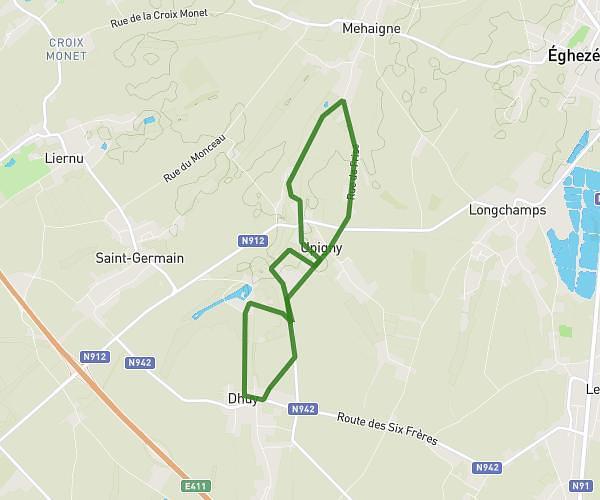
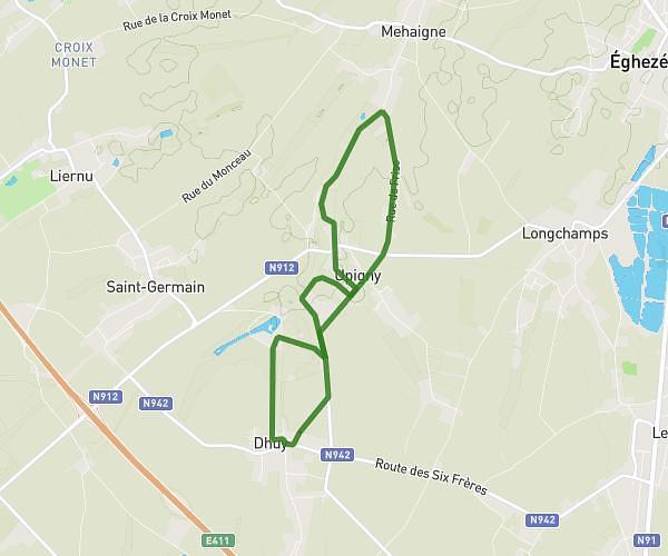
This running route covers 1.185mi starting from Hamois, Namur. The run is a loop trail and returns to the trailhead. This run is rated as easy, expect about 7m to complete it. The route has an elevation gain of 79ft and an elevation loss of 79ft.
Cyclocross Schaltin
Route details
10.16mph
Speed
80 kcal
Calories burned
Loop trail
Route type
863ft
Min altitude
899ft
Max altitude
Route profile
79ft
Elevation gain
79ft
Elevation loss
863ft
Min altitude
899ft
Max altitude
How to get there
Trailhead: Rue Du Stade 3, 5364 Hamois, Namur, Belgium
GPS coordinates of the trailhead: 50.35981, 5.1223 / 50°21'35'' N, 5°7'20'' E