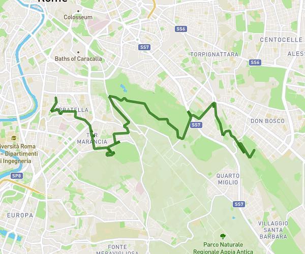
This hiking trail covers 3.306mi starting from Roma, Rome. The hike does not return to the trailhead and ends near Viale Aventino 8, 00153 Roma Rome, Italy. This hike is rated as easy, plan for about 1h9m to complete it. The route has an elevation gain of 361ft and an elevation loss of 338ft.
Trastevere-bocca-della-verità-circo-Massimo
Route details
2.87mph
Speed
500 kcal
Calories burned
4.0%
Avg grade
Point to point
Route type
33ft
Min altitude
118ft
Max altitude
Route profile
361ft
Elevation gain
338ft
Elevation loss
33ft
Min altitude
118ft
Max altitude
How to get there
Trailhead: Lungotevere Dei Vallati 1, 00186 Roma Rome, Italy
GPS coordinates of the trailhead: 41.892707, 12.471288 / 41°53'33'' N, 12°28'16'' E