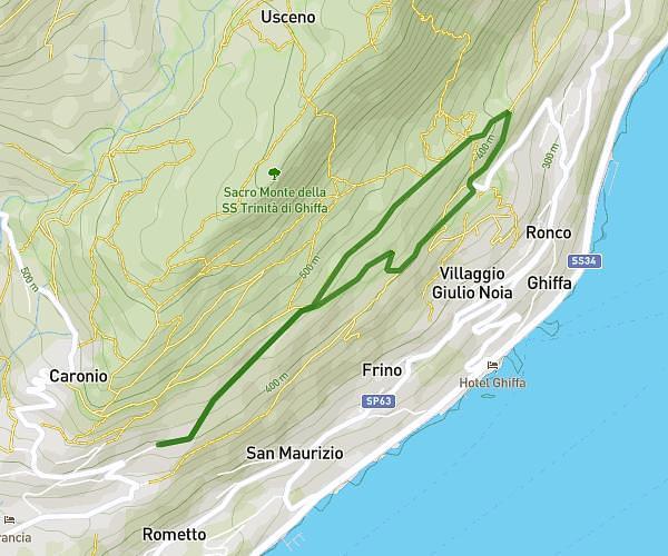
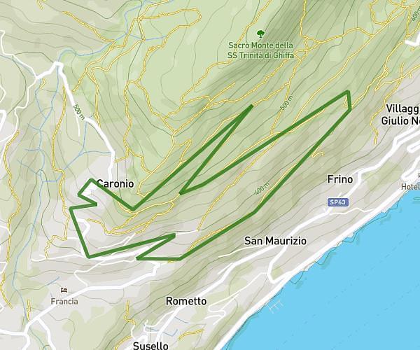
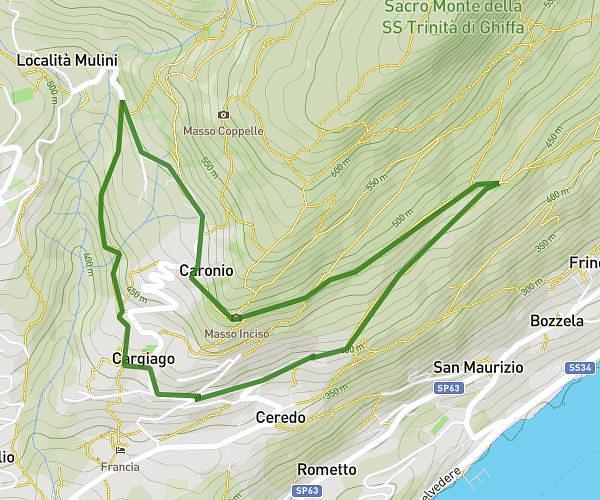
This running route covers 4.999mi starting from Cantello, Varese. The run is a loop trail and returns to the trailhead. This run is rated as moderate, expect about 50m to complete it. The route has an elevation gain of 75ft and an elevation loss of 85ft.
MFRC 08.07 - Intermedio
Route details
6.0mph
Speed
572 kcal
Calories burned
Loop trail
Route type
1329ft
Min altitude
1378ft
Max altitude
Route profile
75ft
Elevation gain
85ft
Elevation loss
1329ft
Min altitude
1378ft
Max altitude
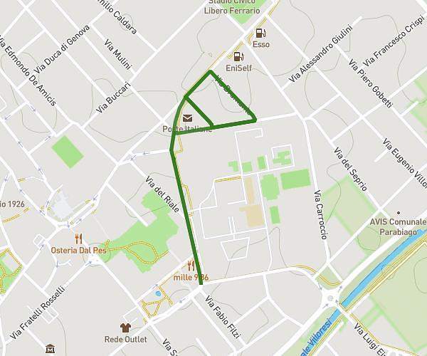
How to get there
Trailhead: Via Cesare Baj 15, 21050 Cantello Varese, Italy
GPS coordinates of the trailhead: 45.81857, 8.8922 / 45°49'6'' N, 8°53'31'' E