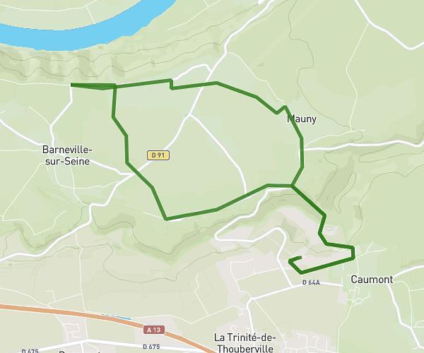
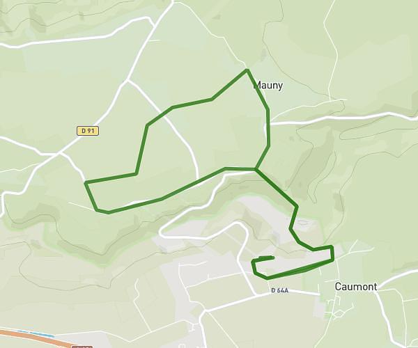
This running route covers 3.294mi starting from Le Neubourg, Eure. The run is a loop trail and returns to the trailhead. This run is rated as easy, expect about 32m to complete it. The route has an elevation gain of 23ft and an elevation loss of 30ft.
voie verte
Route details
6.18mph
Speed
366 kcal
Calories burned
Loop trail
Route type
436ft
Min altitude
456ft
Max altitude
Route profile
23ft
Elevation gain
30ft
Elevation loss
436ft
Min altitude
456ft
Max altitude
How to get there
Trailhead: Rue De La Draisine, 27110 Le Neubourg
GPS coordinates of the trailhead: 49.15156, 0.91004 / 49°9'5'' N, 0°54'36'' E