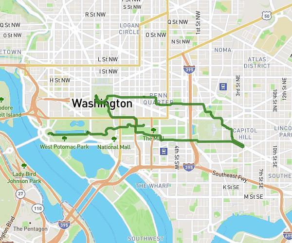
This walking route covers 2.173mi starting from Rockville, Maryland. The walk does not return to the trailhead and ends near Avery Road, 20855 Rockville. This walk is rated as easy, plan for about 56m to complete it. The route has an elevation gain of 105ft and an elevation loss of 167ft.
Avery
Route details
25:45/mi
Pace
229 kcal
Calories burned
Point to point
Route type
289ft
Min altitude
390ft
Max altitude
Route profile
105ft
Elevation gain
167ft
Elevation loss
289ft
Min altitude
390ft
Max altitude
How to get there
Trailhead: Bauer Drive, 20853 Rockville
GPS coordinates of the trailhead: 39.09619, -77.10811 / 39°5'46'' N, 77°6'29'' W