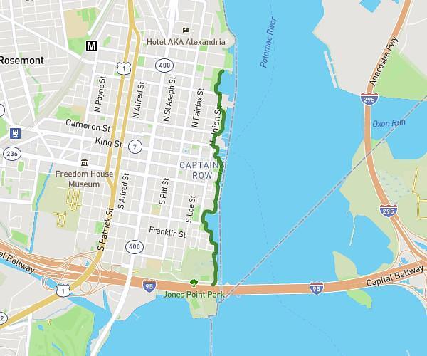
This walking route covers 7.04mi starting from Washington, District of Columbia. The walk does not return to the trailhead and ends near Constitution Avenue Northwest, 20004 Washington. This walk is rated as hard, plan for about 2h31m to complete it. The route has an elevation gain of 732ft and an elevation loss of 751ft.
8th Grade D.C. Trip!
Route details
21:27/mi
Pace
617 kcal
Calories burned
Point to point
Route type
-10ft
Min altitude
118ft
Max altitude
Route profile
732ft
Elevation gain
751ft
Elevation loss
-10ft
Min altitude
118ft
Max altitude
How to get there
Trailhead: Lincoln Memorial Circle Northwest, 20004 Washington
GPS coordinates of the trailhead: 38.88901, -77.05011 / 38°53'20'' N, 77°3'0'' W