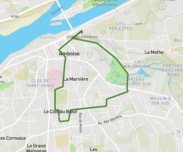
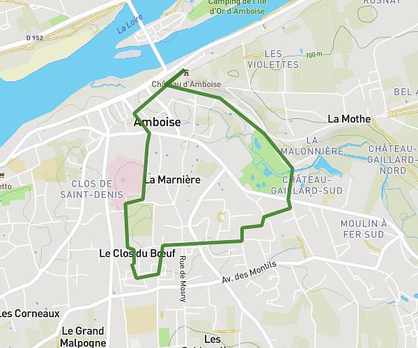
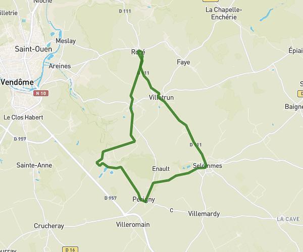
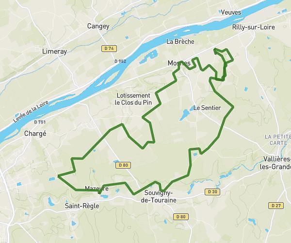
This running route covers 17.623mi starting from Veuzain-sur-Loire, Loir-et-Cher. The run is a loop trail and returns to the trailhead. This run is rated as strenuous, expect about 2h to complete it. The route has an elevation gain of 105ft and an elevation loss of 128ft.
25 km
Route details
8.81mph
Speed
1372 kcal
Calories burned
Loop trail
Route type
253ft
Min altitude
377ft
Max altitude
Route profile
105ft
Elevation gain
128ft
Elevation loss
253ft
Min altitude
377ft
Max altitude
How to get there
Trailhead: 52 Rue Du Pont D'ouchet, 41150 Veuzain-sur-Loire, France
GPS coordinates of the trailhead: 47.500447, 1.183114 / 47°30'1'' N, 1°10'59'' E