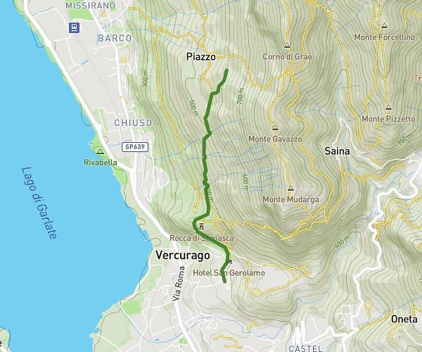
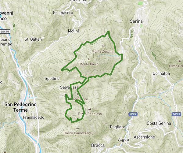
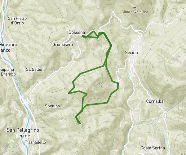
This hiking trail covers 0.857mi starting from Costa Serina, Bergamo. The hike does not return to the trailhead and ends near Sp31, 24010 Costa Serina Bergamo, Italy. This hike is rated as easy, plan for about 34m56s to complete it. The route has an elevation gain of 509ft and an elevation loss of 43ft.
Baite di Aral
Route details
1.47mph
Speed
290 kcal
Calories burned
12.2%
Avg grade
Point to point
Route type
2917ft
Min altitude
3396ft
Max altitude
Steep climb
Route profile
509ft
Elevation gain
43ft
Elevation loss
2917ft
Min altitude
3396ft
Max altitude
How to get there
Trailhead: Sp31, 24010 Costa Serina Bergamo, Italy
GPS coordinates of the trailhead: 45.829024, 9.750233 / 45°49'44'' N, 9°45'0'' E