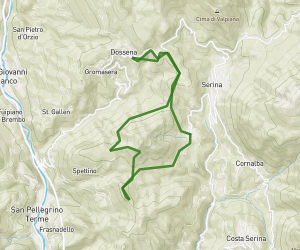
This hiking trail covers 11.008mi starting from Serina, Bergamo. The hike is a loop trail and returns to the trailhead. This hike is rated as strenuous, plan for about 4h25m to complete it. The route has an elevation gain of 2415ft and an elevation loss of 2421ft.
periplo Monte Gioco + Santa Croce
Route details
2.49mph
Speed
1989 kcal
Calories burned
8.3%
Avg grade
Loop trail
Route type
2444ft
Min altitude
3517ft
Max altitude
Steep climb
Route profile
2415ft
Elevation gain
2421ft
Elevation loss
2444ft
Min altitude
3517ft
Max altitude
How to get there
Trailhead: Viale Giuseppe Garibaldi 16, 24017 Serina Bergamo, Italy
GPS coordinates of the trailhead: 45.859156, 9.721326 / 45°51'32'' N, 9°43'16'' E