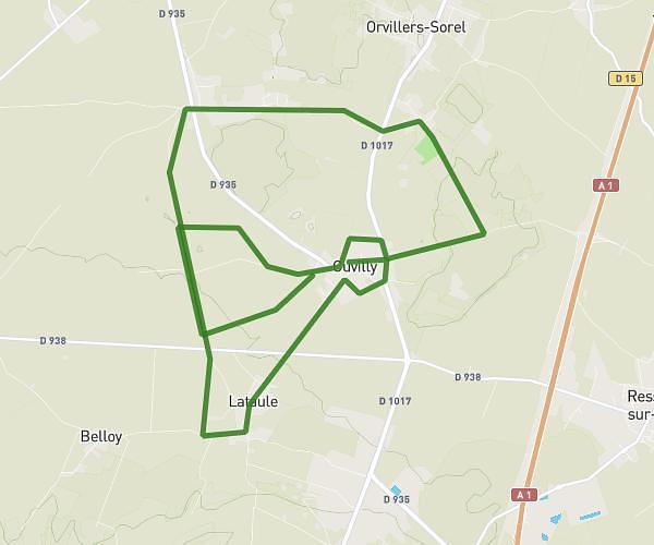
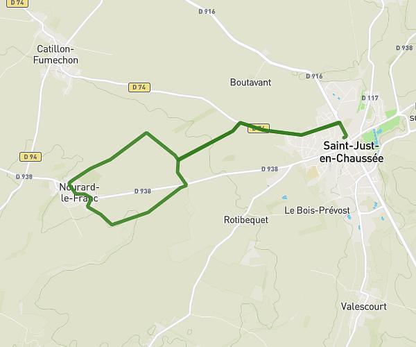
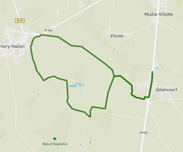
This running route covers 7.492mi starting from Élincourt-Sainte-Marguerite, Oise. The run is a loop trail and returns to the trailhead. This run is rated as hard, expect about 1h12m to complete it. The route has an elevation gain of 837ft and an elevation loss of 830ft.
3 T Elincourt 14/06/25
Route details
6.24mph
Speed
824 kcal
Calories burned
Loop trail
Route type
203ft
Min altitude
620ft
Max altitude
Route profile
837ft
Elevation gain
830ft
Elevation loss
203ft
Min altitude
620ft
Max altitude
How to get there
Trailhead: 4 Chemin De La Borne Aux Loups, 60157 Élincourt-Sainte-Marguerite, France
GPS coordinates of the trailhead: 49.53833, 2.82326 / 49°32'17'' N, 2°49'23'' E