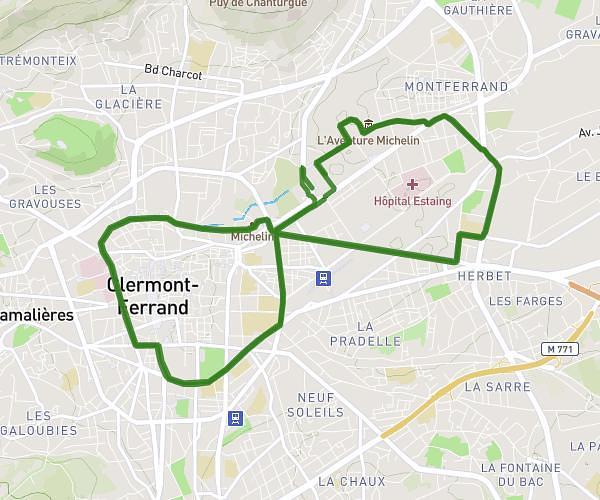
This running route covers 9.362mi starting from Clermont-Ferrand, Puy-de-Dôme. The run does not return to the trailhead and ends near 63870, Orcines, Puy-de-Dôme, France. This run is rated as hard, expect about 2h58m to complete it. The route has an elevation gain of 3625ft and an elevation loss of 0ft.
Description of the route by the creator
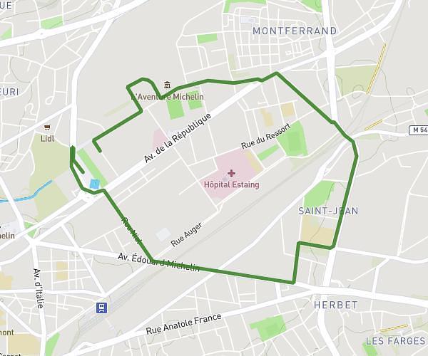
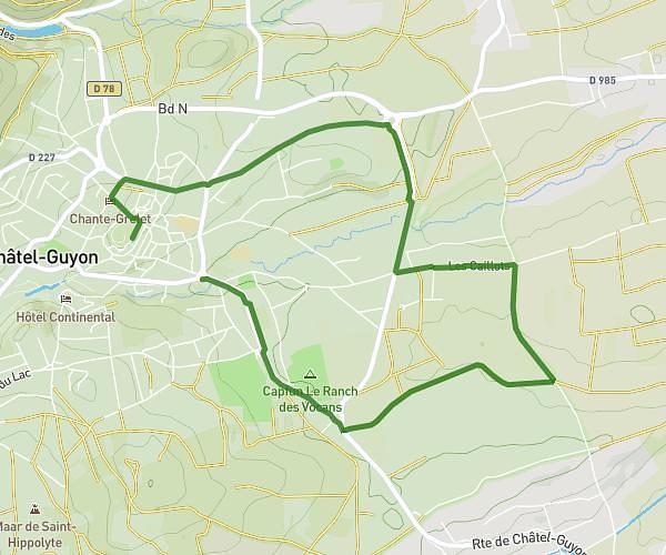
Start: rue Jean-Baptiste Torrilhon, Avenue Joseph Claussat, rue d'Assas, Avenue de Royat, Avenue Thermale, Voie Romaine, Gare Panoramic, Col de Ceyssat, Chemin des Multiers and finish at the summit of Puy-de-Dôme.