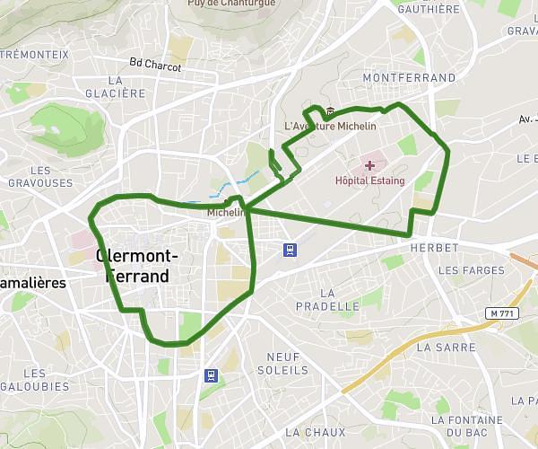
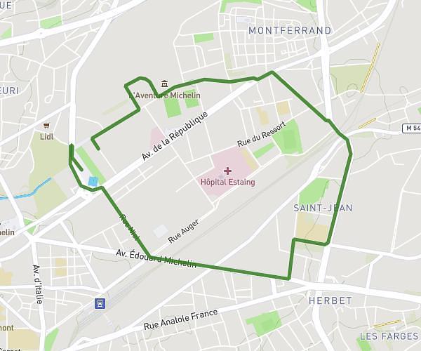
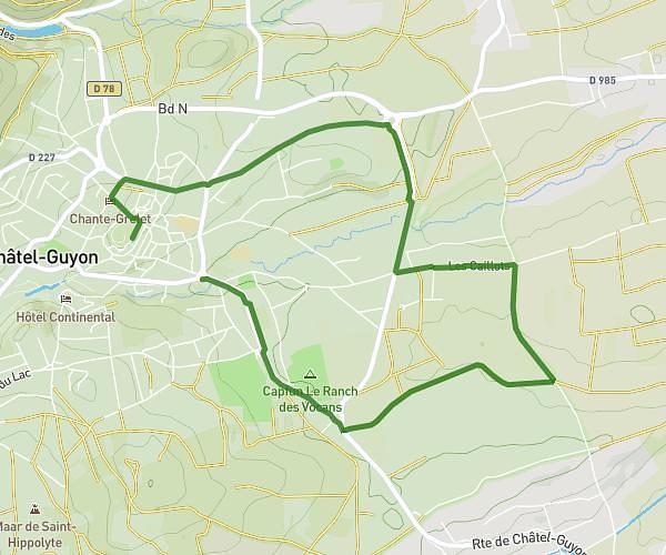
This running route covers 11.994mi starting from Mur-sur-Allier, Puy-de-Dôme. The run is a loop trail and returns to the trailhead. This run is rated as strenuous, expect about 2h9m to complete it. The route has an elevation gain of 797ft and an elevation loss of 804ft.
Séance relou
Route details
5.58mph
Speed
1475 kcal
Calories burned
Loop trail
Route type
1017ft
Min altitude
1499ft
Max altitude
Route profile
797ft
Elevation gain
804ft
Elevation loss
1017ft
Min altitude
1499ft
Max altitude
How to get there
Trailhead: 2 Quai De La Nef, 63115 Mur-sur-Allier, France
GPS coordinates of the trailhead: 45.771627, 3.237733 / 45°46'17'' N, 3°14'15'' E