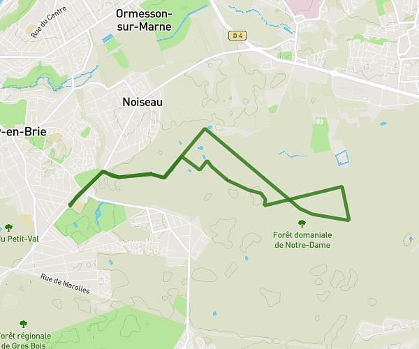
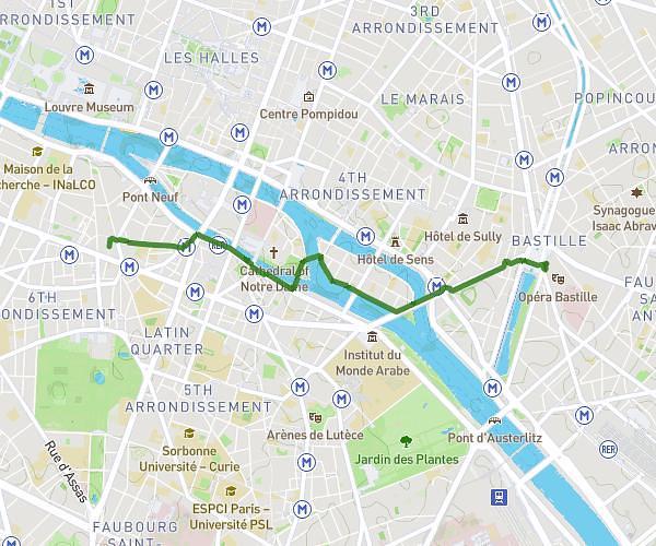
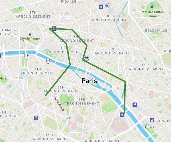
This walking route covers 3.518mi starting from Île-de-France, Paris. The walk is a loop trail and returns to the trailhead. This walk is rated as easy, plan for about 1h to complete it. The route has an elevation gain of 381ft and an elevation loss of 377ft.
montsouris
Route details
17:04/mi
Pace
245 kcal
Calories burned
Loop trail
Route type
141ft
Min altitude
266ft
Max altitude
Route profile
381ft
Elevation gain
377ft
Elevation loss
141ft
Min altitude
266ft
Max altitude
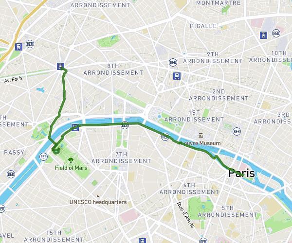
How to get there
Trailhead: 15 Rue Küss, 75013 Paris, France
GPS coordinates of the trailhead: 48.82217, 2.35091 / 48°49'19'' N, 2°21'3'' E