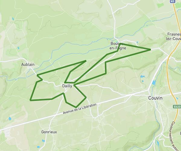
This running route covers 7.01mi starting from Florennes, Namur. The run is a loop trail and returns to the trailhead. This run is rated as moderate, expect about 1h24m to complete it. The route has an elevation gain of 387ft and an elevation loss of 384ft.
11km Florennes
Route details
4.97mph
Speed
967 kcal
Calories burned
Loop trail
Route type
768ft
Min altitude
899ft
Max altitude
Route profile
387ft
Elevation gain
384ft
Elevation loss
768ft
Min altitude
899ft
Max altitude
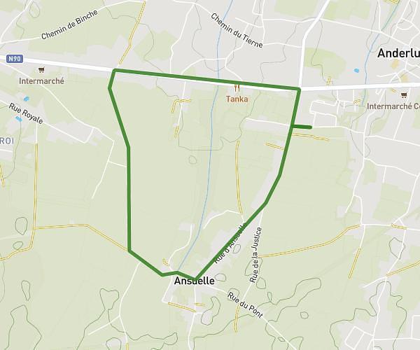
How to get there
Trailhead: Rue De La Tannerie, 5620 Florennes
GPS coordinates of the trailhead: 50.2463, 4.59446 / 50°14'46'' N, 4°35'40'' E