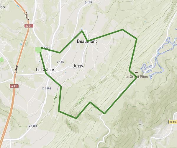
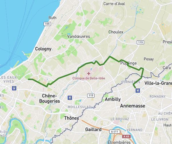
This running route covers 3.282mi starting from Ville-la-Grand, Haute-Savoie. The run is a loop trail and returns to the trailhead. This run is rated as easy, expect about 35m12s to complete it. The route has an elevation gain of 282ft and an elevation loss of 282ft.
Vlg 5km
Route details
5.59mph
Speed
402 kcal
Calories burned
Loop trail
Route type
1460ft
Min altitude
1588ft
Max altitude
Route profile
282ft
Elevation gain
282ft
Elevation loss
1460ft
Min altitude
1588ft
Max altitude
How to get there
Trailhead: 28 Rue Du Vieux Moulin, 74100 Ville-la-Grand, France
GPS coordinates of the trailhead: 46.205481, 6.253907 / 46°12'19'' N, 6°15'14'' E