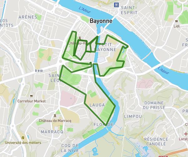
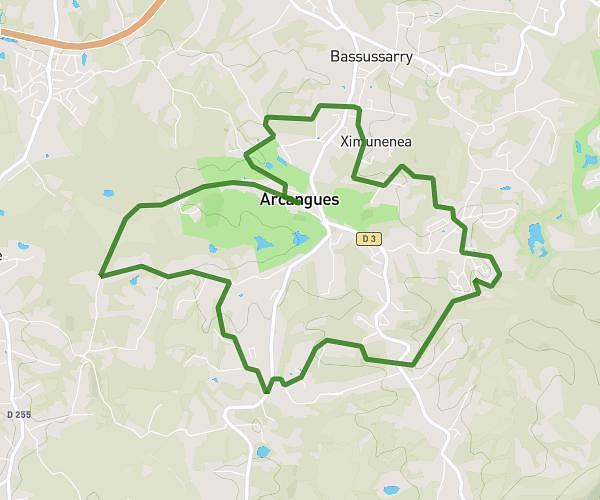
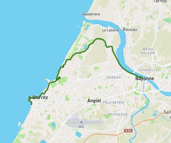
This running route covers 4.611mi starting from Bassussarry, Pyrénées-Atlantiques. The run does not return to the trailhead and ends near 8 Rue Du Moulin Chabiague, 64200 Biarritz, France. This run is rated as easy, expect about 49m to complete it. The route has an elevation gain of 433ft and an elevation loss of 509ft.
Plage
Route details
5.65mph
Speed
560 kcal
Calories burned
Point to point
Route type
26ft
Min altitude
279ft
Max altitude
Route profile
433ft
Elevation gain
509ft
Elevation loss
26ft
Min altitude
279ft
Max altitude
How to get there
Trailhead: 25 Impasse Xoko Ttiki, 64200 Bassussarry, France
GPS coordinates of the trailhead: 43.43858, -1.50364 / 43°26'18'' N, 1°30'13'' W