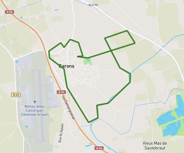
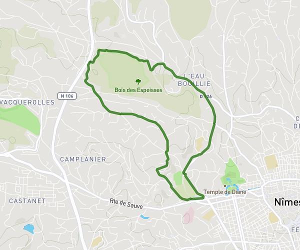
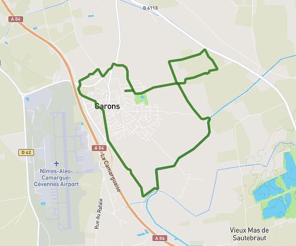
This running route covers 3.553mi starting from Nîmes, Gard. The run is a loop trail and returns to the trailhead. This run is rated as easy, expect about 38m to complete it. The route has an elevation gain of 213ft and an elevation loss of 213ft.
Nimes cœur
Route details
5.61mph
Speed
434 kcal
Calories burned
Loop trail
Route type
141ft
Min altitude
223ft
Max altitude
Route profile
213ft
Elevation gain
213ft
Elevation loss
141ft
Min altitude
223ft
Max altitude
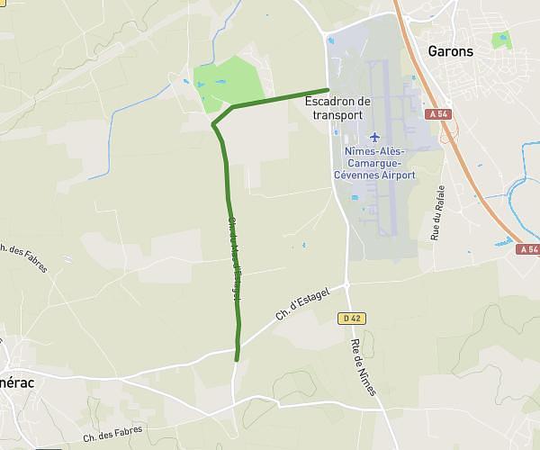
How to get there
Trailhead: 32 Rue De La Cité Foulc, 30000 Nîmes, France
GPS coordinates of the trailhead: 43.831078, 4.361304 / 43°49'51'' N, 4°21'40'' E