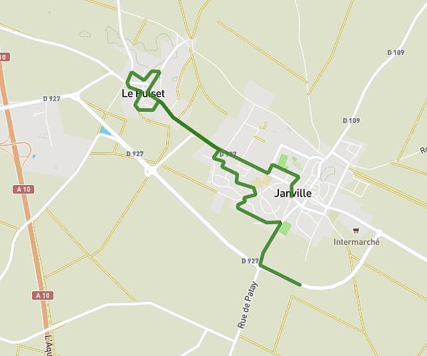
This hiking trail covers 0.426mi starting from Janville-en-Beauce, Eure-et-Loir. The hike does not return to the trailhead and ends near Rue De Laïr, 28310 Janville-en-Beauce, France. This hike is rated as easy, plan for about 15m to complete it. The route has an elevation gain of 0ft and an elevation loss of 16ft.
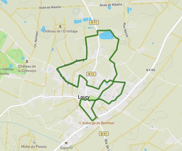
Marche oct 25 1
Route details
1.7mph
Speed
105 kcal
Calories burned
0.7%
Avg grade
Point to point
Route type
430ft
Min altitude
446ft
Max altitude
Route profile
0ft
Elevation gain
16ft
Elevation loss
430ft
Min altitude
446ft
Max altitude
How to get there
Trailhead: 18 Rue Du Mail Colardeau, 28310 Janville-en-Beauce, France
GPS coordinates of the trailhead: 48.19995, 1.88196 / 48°11'59'' N, 1°52'55'' E