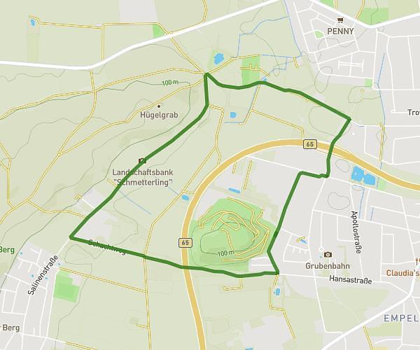
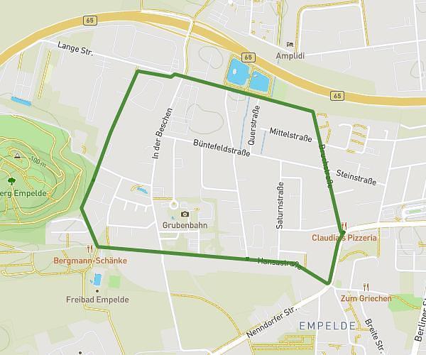
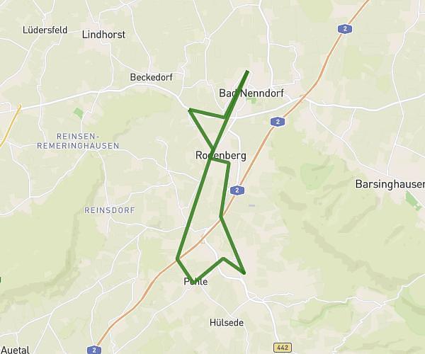
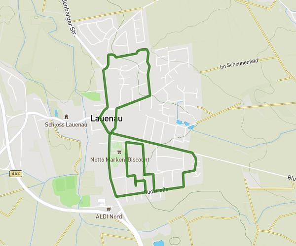
This running route covers 17.202mi starting from Barsinghausen, Lower Saxony. The run is a loop trail and returns to the trailhead. This run is rated as strenuous, expect about 3h4m to complete it. The route has an elevation gain of 830ft and an elevation loss of 833ft.
Gelb
Route details
5.59mph
Speed
2110 kcal
Calories burned
Loop trail
Route type
190ft
Min altitude
433ft
Max altitude
Route profile
830ft
Elevation gain
833ft
Elevation loss
190ft
Min altitude
433ft
Max altitude
How to get there
Trailhead: Hegelstraße 23, 30890 Barsinghausen, Germany
GPS coordinates of the trailhead: 52.285161, 9.520933 / 52°17'6'' N, 9°31'15'' E