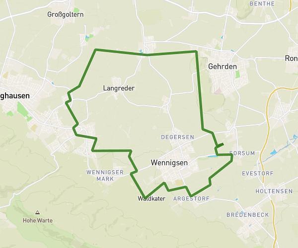
This running route covers 5.483mi starting from Hannover, Lower Saxony. The run is a loop trail and returns to the trailhead. This run is rated as moderate, expect about 59m to complete it. The route has an elevation gain of 505ft and an elevation loss of 505ft.
zweite Strecke
Route details
5.57mph
Speed
675 kcal
Calories burned
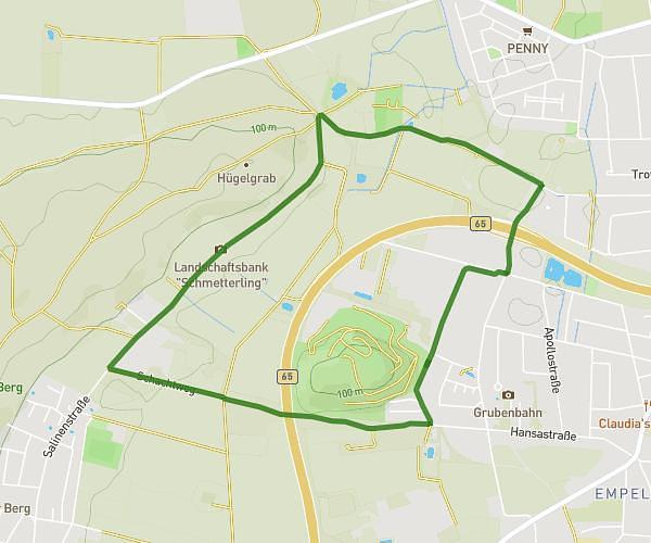
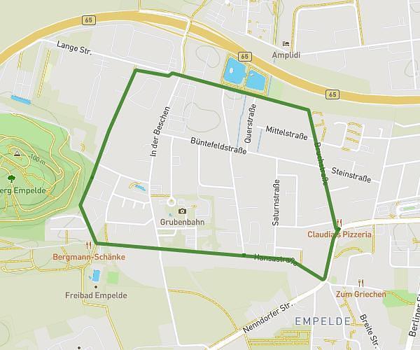
Loop trail
Route type
151ft
Min altitude
249ft
Max altitude
Route profile
505ft
Elevation gain
505ft
Elevation loss
151ft
Min altitude
249ft
Max altitude
How to get there
Trailhead: Gartenallee 18, 30449 Hannover, Germany
GPS coordinates of the trailhead: 52.368951, 9.713146 / 52°22'8'' N, 9°42'47'' E