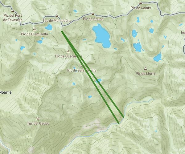
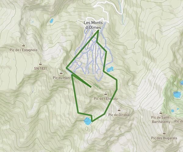
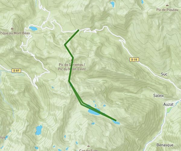
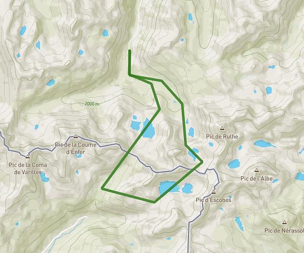
This hiking trail covers 8.802mi starting from Larnat, Ariège. The hike does not return to the trailhead and ends near Avenue Paul Vaillant Couturier, 09400 Tarascon-sur-Ariège. This hike is rated as strenuous, plan for about 3h to complete it. The route has an elevation gain of 394ft and an elevation loss of 3773ft.
Bivouac J-2 Bis
Route details
2.93mph
Speed
1278 kcal
Calories burned
9.0%
Avg grade
Point to point
Route type
1552ft
Min altitude
4931ft
Max altitude
Steep climb
Route profile
394ft
Elevation gain
3773ft
Elevation loss
1552ft
Min altitude
4931ft
Max altitude
How to get there
Trailhead: 09310 Larnat
GPS coordinates of the trailhead: 42.774, 1.63131 / 42°46'26'' N, 1°37'52'' E