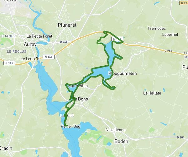
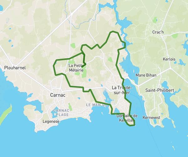
This running route covers 10.515mi starting from Riantec, Morbihan. The run does not return to the trailhead and ends near 11 Rue De Pen Er Bed, 56680 Gâvres, France. This run is rated as hard, expect about 1h42m to complete it. The route has an elevation gain of 10ft and an elevation loss of 43ft.
Endurance
Route details
6.18mph
Speed
1166 kcal
Calories burned
Point to point
Route type
3ft
Min altitude
36ft
Max altitude
Route profile
10ft
Elevation gain
43ft
Elevation loss
3ft
Min altitude
36ft
Max altitude
How to get there
Trailhead: 8 Rue Du Guennic, 56670 Riantec, France
GPS coordinates of the trailhead: 47.71653, -3.31215 / 47°42'59'' N, 3°18'43'' W