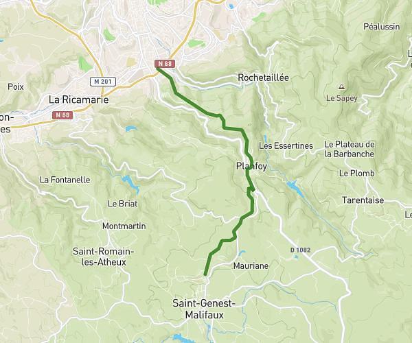
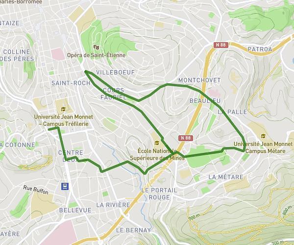
This running route covers 3.326mi starting from Sainte-Sigolène, Haute-Loire. The run is a loop trail and returns to the trailhead. This run is rated as easy, expect about 39m30s to complete it. The route has an elevation gain of 364ft and an elevation loss of 367ft.
Ruche 5 km
Route details
5.05mph
Speed
452 kcal
Calories burned
Loop trail
Route type
2425ft
Min altitude
2644ft
Max altitude
Route profile
364ft
Elevation gain
367ft
Elevation loss
2425ft
Min altitude
2644ft
Max altitude
How to get there
Trailhead: 34 Route Du Pinet, 43600 Sainte-Sigolène, France
GPS coordinates of the trailhead: 45.22784, 4.23767 / 45°13'40'' N, 4°14'15'' E